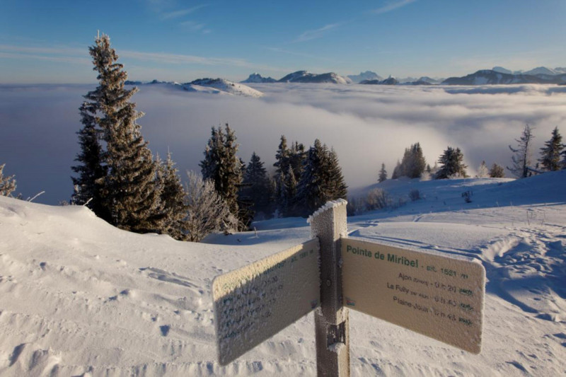
La Pointe de Miribel" snowshoe itinerary
- Level bue - easy
Array
Distance (km)
:
4
Elevation (m)
:
331
Daily duration (minutes)
:
150

 Departure/Arrival
 Point of interest
Circuit n° 1
LIBELLE_SOUSCARTE
- SITRA services :
- Distance (km) 4
- Elevation (m) 331
- Daily duration (minutes) 150
- References topoguides :
- Un topo raquettes présentant des itinéraires de randonnées en raquettes est en vente à l'Office de Tourisme des Alpes du Léman dans les bureaux d'accueil et d'information de Bellevaux et Habère-Poche au prix de 4€.
- Environment :
- Mountain location
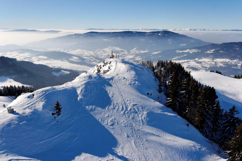
A hike offering 360° views from Lake Geneva to Mont Blanc.
A route that winds its way through pastures. The mountain's location allows you to admire the Chablais region, Lake Geneva and, of course, the Alps.
Wink: Miribel, in toponymy, means "beautiful view". As well as magnificent panoramic views, this route also boasts an astonishing religious heritage.
Wink: Miribel, in toponymy, means "beautiful view". As well as magnificent panoramic views, this route also boasts an astonishing religious heritage.
Opening day(s)
From 01 December to 31 March(every year)
Every day
General
- Services :
- Pets welcome
- Visites :
- Average individual visit length (minutes) 150
- SITRA services :
- 5 yrs old min
- Services
Contact
La Lanche
74420
Villard
Phone : +33 4 50 39 54 46
Accessibility
Theme:
Share :


