Itinéraire raquettes "Le Mont Forchat" depuis Habère-Poche
Array
Distance (km)
:
13
Elevation (m)
:
500
Daily duration (minutes)
:
195

 Departure/Arrival
 Point of interest
Circuit n° 1
LIBELLE_SOUSCARTE
- SITRA services :
- Distance (km) 13
- Elevation (m) 500
- Daily duration (minutes) 195
- References topoguides :
- Un topo raquettes présentant des itinéraires de randonnées en raquettes est en vente à l'Office de Tourisme des Alpes du Léman dans les bureaux d'accueil et d'information de Bellevaux et Habère-Poche au prix de 4€.
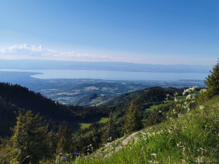
The start point is approx. 100m uphill from the Les Moises oratory on a wide path (1st path on the right after the oratory) through the forest until the first bend. 360° from Lac Léman to Mont Blanc.
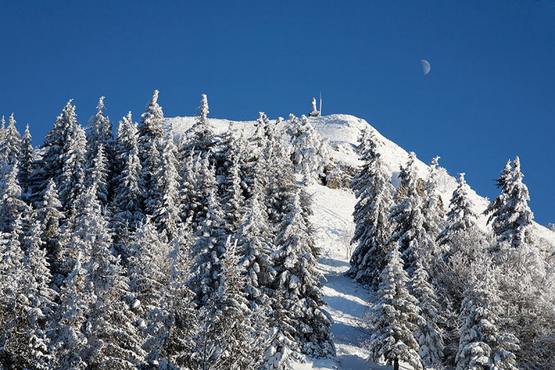
Go up along the path which gets narrower the higher you get. You come out of the woods into the clearing in Les Bévieux which you need to cross. A path leads to the Col de l’Encrenaz. Continue over the Col and climb up the last steep part to the peak. Go back to the Col de l’Encrenaz then carry on along the path (south) down to Granges Michaux. Carry on past the chalets and the path turns right back to Granges Mamet. Follow the wide slope to reach the Col des Moises road approx. 700m up from the start point. The statue of Saint-François de Sales is at the top.
Mainly woodland path, recommended for heavy snow.
Mainly woodland path, recommended for heavy snow.
Opening day(s)
From 01 December to 31 March(every year)
Every day
General
- Services :
- Pets welcome
- Visites :
- Average individual visit length (minutes) 195
- SITRA services :
- Services
We also suggest...
Accessibility
Theme:
Share :


