Cycling loop: Tour du Mont d'Hermone
- Level red – hard
Distance (km)
:
45
Elevation (m)
:
840
Cycle tourism route

 Departure/Arrival
 Point of interest
Circuit n° 1
Car park: Place de Crête
LIBELLE_SOUSCARTE
- SITRA services :
- Distance (km) 45
- Elevation (m) 840
The Vallée Verte circuit and the Tour of Mont d'Hermone, together with their variants, allow cyclists to reap an impressive harvest of easy passes.
Departure point / TER: Thonon-les-Bains or Habère-Poche
Length: 45 km
Difficulty: difficult
Total ascent: 840 m
Maximum altitude: 1120m
Direction: clockwise
Landmarks and connections : Armoy (separation from Circuit de Planbois n°50) ;
Armoy (separation with Circuit de Planbois n°50); Vailly / Sous-la-Côte (separation with Tour du Roc d'Enfer n°37); Habère-Poche and Draillant (separation then joint return with Circuit de la Vallée Verte n°28).
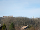
Description:Mont d'Hermone is home to the Notre Dame d'Hermone chapel (1328 m) on its summit ridge in the middle of the forest. It is an active Marian pilgrimage site for all the parishes in the massif, and can be reached on foot from the
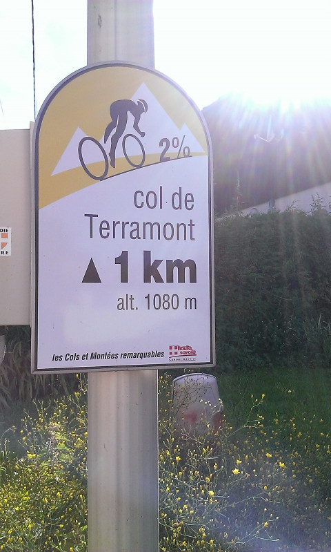
Col du Feu (1120 m). The tour takes you over two other passes: Col de Terramont (1090 m) and Col des Moises (1121 m). The former is reached by a continuous climb from Thonon (RD26, then RD22 after Vailly / Sous-la-Côte). After a descent to Habère-Poche, you'll climb to the second after leaving the Col de Cou road (RD12) at the Ramble hamlet vacation camp (RD246). As you climb to the Col des Moises, you'll see the winch launch site of the Léman Mont-Blanc glider piloting school on your right. This velisurface, created in 1995, is the only one of its kind in Haute-Savoie.
Haute-Savoie
Opening day(s)
From 15 April to 31 October(every year)
Every day
Direction of travel: clockwise / counter-clockwise
Landmarks and connections : Armoy (separation with Circuit de Planbois n°50) ;
Armoy (separation with the Circuit de Planbois n°50); Vailly / Sous-la-Côte (separation with the Tour du Roc d'Enfer n°37); Habère-Poche and Draillant (separation then joint return with the Circuit de la Vallée Verte n°28) / The route of the Tour du Roc d'Enfer (separation with the Circuit de Planbois n°50).
Description:The summit ridge of Mont d'Hermone, in the middle of the forest, is home to the Notre Dame d'Hermone chapel (1328 m), an active Marian pilgrimage site for all the parishes in the massif, reached on foot from the Col du Feu (1120 m). The tour takes you over two other passes: Col de Terramont (1090 m) and Col des Moises (1121 m). The former is reached by a continuous climb from Thonon (RD26, then RD22 after Vailly / Sous-la-Côte). After a descent to Habère-Poche, you'll climb to the second after leaving the Col de Cou road (RD12) at the Ramble hamlet vacation camp (RD246). As you climb to the Col des Moises, you'll see the winch launch site of the Léman Mont-Blanc glider piloting school on your right. This velisurface, created in 1995, is the only one of its kind in Haute-Savoie.
Haute-Savoie
Download
Contact
74200
Thonon-les-Bains
Phone : +33 4 50 71 55 55
Phone : +33 4 50 71 55 76
Accessibility
Theme:
Share :
