La boucle des Habères" hiking trail
- Level bue - easy
Distance (km)
:
5.8
Elevation (m)
:
130
Daily duration (minutes)
:
120
Hiking itinerary

 Departure/Arrival
 Point of interest
Circuit n° 1
Parking around Habère-Poche church
LIBELLE_SOUSCARTE
- SITRA services :
- Distance (km) 5.8
- Elevation (m) 130
- Daily duration (minutes) 120
- References topoguides :
- Cartoguide des itinéraires pédestres en vente à l'Office de Tourisme des Alpes du Léman (Bellevaux,Habère-Poche) 8 €.
- Wandelkaart te koop bij het toeristenbureau van Alpes du Léman (Bellevaux, Habère-Poche) 8 €.
- Environment :
- In the country
- Village centre
- Forest location
- Mountain location
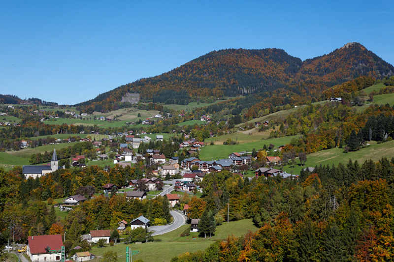
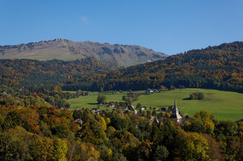
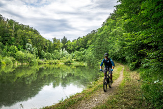
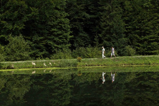
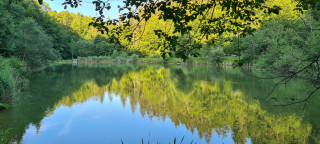
A cool stroll along the Menoge river, the small Lac de la Crossetaz and the Vallée Verte ponds.
Visit Habère-Lullin church and the Red Christmas memorial, commemorating a tragic event in the Second World War, on December 25, 1943.
Opening day(s)
All year long 2026
Every day
General
- Services :
- Pets welcome
- Visites :
- Average individual visit length (minutes) 120
- SITRA services :
- Services
Equipment & Services
- Leisure facilities :
- Picnic area
- Restaurants :
- Restaurant
We also suggest...
Contact
Place des Habères
74420
Habère-Poche
Phone : +33 4 50 73 78 62
Phone : +33 4 50 39 54 46
Accessibility
Theme:
Share :

