"Le Tour de Nifflon" Hike
- Level red – hard
- Passage à proximité de la Tanne à neige : ne pas s'approcher du gouffre.
Distance (km)
:
8
Elevation (m)
:
630
Daily duration (minutes)
:
270
Hiking itinerary

 Departure/Arrival
 Point of interest
Circuit n° 1
In Bellevaux, follow the road in front of the church until you reach the so-called "Les Bossons". Cross the Brevon via Doubines bridge and turn left to Buchille. Park at "Le Sciard".
LIBELLE_SOUSCARTE
- SITRA services :
- Distance (km) 8
- Elevation (m) 630
- Daily duration (minutes) 270
- References topoguides :
- Cartoguide des itinéraires pédestres en vente à l'Office de Tourisme des Alpes du Léman (Bellevaux,Habère-Poche) 8 €.
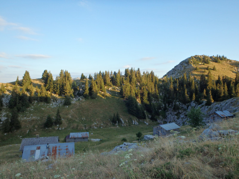
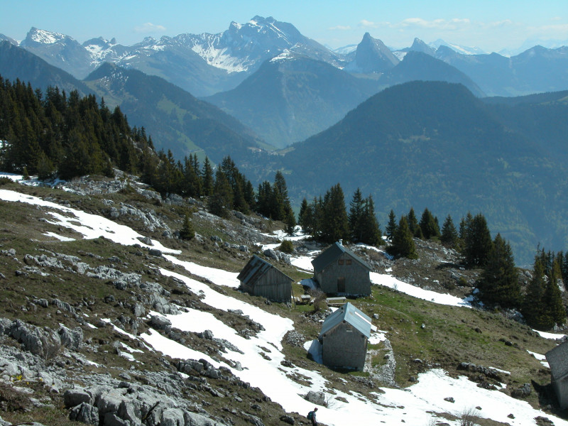
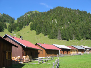
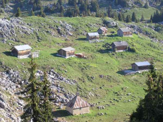
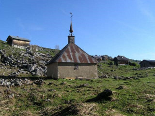
The "alpagistes" path: visit Nifflon's Notre Dame des Neiges Chapel built in 1821! An easy and pretty walk through typical Alpine landscapes dotted with sinkholes and chalets.
Nature and Heritage:
“Nifflon” comes from the Latin “Nec Fluere” meaning “where water doesn’t run.” Water seeps into "tannes" worn away by erosion and characteristic of the karstic landscape. Shepherds collected water from the roof in large casks called "toenes". If summer was too dry, they collected snow from the tannes. Nevertheless, this pasture was popular with Alpine farmers for the top quality grass which gave butter a unique flavour.
Route details:
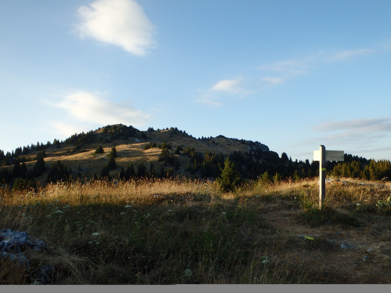
From Sciard chalet, follow the 4x4 route for approx. 1km until you reach a signpost to Nifflon on your left and follow it until "Nifflon d'en bas" (mountain pasture chalets). When you reach Nifflon, explore the chalets and chapel.
Return to the signpost and head for Pointe d'Ireuse (1890m peak) for 360° views of (clockwise) Mont Blanc, the Aravis range, the Bornes range, Lake Geneva, the Jura range, Chablais mountains, the peak of Western Oberland and the Swiss Valley.
Return in a northerly direction to "le Golet de la Chaux" and continue in the same direction to the "Crève Coeur" along a steep slope to La Buchille chalets. From here, take the carriageway back to Sciard chalet (approx. 1km).
Useful information: Yellow or red and yellow markings/high point: Pointe d'Ireuse, 1890m.
Opening day(s)
All year long 2026
Every day
General
- Services :
- Pets welcome
- Visites :
- Average individual visit length (minutes) 270
- SITRA services :
- Services
We also suggest...
Contact
Départ du Sciard
Alpage de Nifflon
74470
Bellevaux
Phone : +33 4 50 73 71 53
Accessibility
Theme:
Share :
