"Les Berges du Brevon" Hike
- Level green –very easy
Distance (km)
:
4.5
Elevation (m)
:
100
Daily duration (minutes)
:
90
Hiking itinerary

 Departure/Arrival
 Point of interest
Circuit n° 1
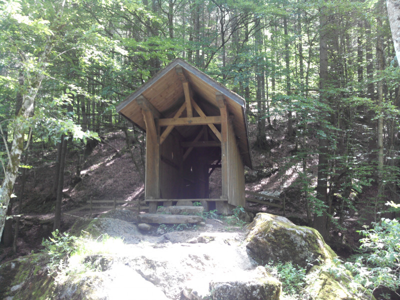
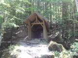
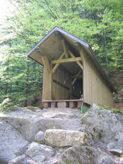
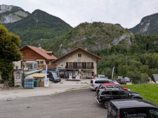
Starting point: Bellevaux village square. Take the dirt road in front of the church to the covered bridge.
LIBELLE_SOUSCARTE
- SITRA services :
- Distance (km) 4.5
- Elevation (m) 100
- Daily duration (minutes) 90
- References topoguides :
- Cartoguide des itinéraires pédestres en vente à l'Office de Tourisme des Alpes du Léman (Bellevaux,Habère-Poche) 8 €.
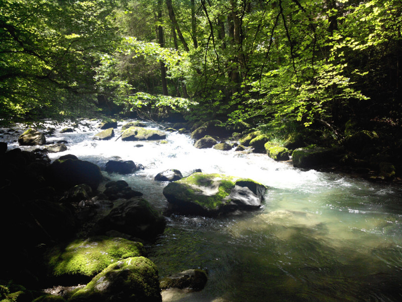
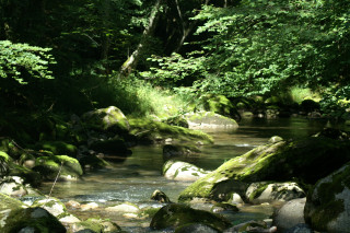
This riverside and woodland walk is perfect for sunny days and won't make you want to go on difficult climbs. A refreshing spot minutes from the village.
Nature and Heritage:
The source of the Brevon, (Bièvre meaning “beaver” in old French) or Dranse de Bellevaux, is near the Roc d'Enfer at an altitude of 1450m. After a few kilometres in Petetoz Forest, the Brevon reaches the hamlet of La Chèvrerie where it pools into Lac de Vallon. It runs up to Bellevaux then ends its 22km run in the Dranse de Morzine.
Route details:
Cross the covered bridge and turn left onto the path along the Brevon until the Pont des Doubines (sawmill on the right) and follow Buchille forest road for approximately 300m then turn left down a path to a sawmill. After 250m, turn left until you reach the La Cressonnière footbridge. Cross the footbridge and join the tarmac Chez Maurice road, turn left and continue (the road will turn into a path) until you reach Bossons where you should follow the road to the centre via the Courtyard.
Useful information: PDIPR markings
Useful information: Yellow markings/High point: Rocher du Châtelard 1051m.
Opening day(s)
All year long 2026
Every day
General
- Services :
- Pets welcome
- Visites :
- Average individual visit length (minutes) 90
- SITRA services :
- Services
Equipment & Services
- Leisure facilities :
- Picnic area
- Parking :
- Car park
- Bathroom/toilets :
- Public WC
We also suggest...
Contact
Chef-lieu
Mairie
74470
Bellevaux
Phone : +33 4 50 73 71 53
Accessibility
Theme:
Share :
