"Les Chalets de Pertuis" Hike
- Level green –very easy
Distance (km)
:
4
Elevation (m)
:
185
Daily duration (minutes)
:
60
Hiking itinerary

 Departure/Arrival
 Point of interest
Directions: from Bellevaux centre, take the little road going down in front of the church and continue straight on to Les Bossons. Cross the Brevon on Pont des Doubines and go up the La Buchille forest path sloping up left.
Park at La Buchille chalets.
Park at La Buchille chalets.
LIBELLE_SOUSCARTE
- SITRA services :
- Distance (km) 4
- Elevation (m) 185
- Daily duration (minutes) 60
- References topoguides :
- Cartoguide des itinéraires pédestres en vente à l'Office de Tourisme des Alpes du Léman (Bellevaux,Habère-Poche) 8 €.
- Environment :
- Mountain location
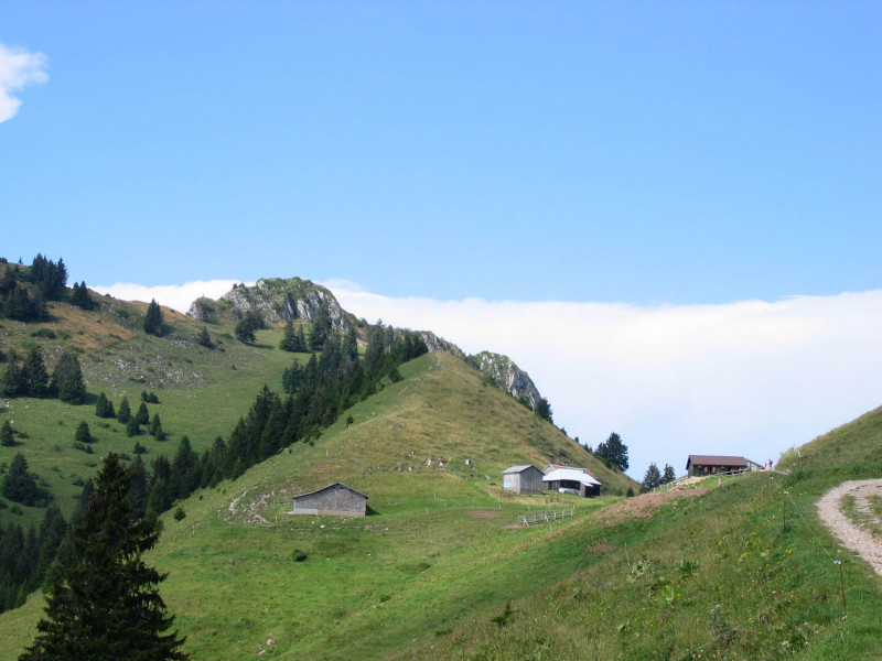
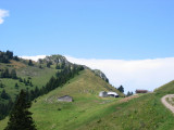
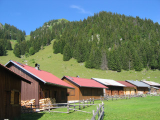
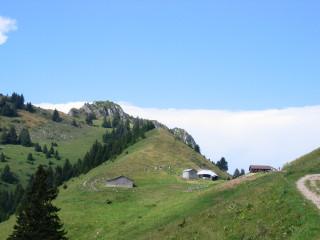
Through the mountain pastures.
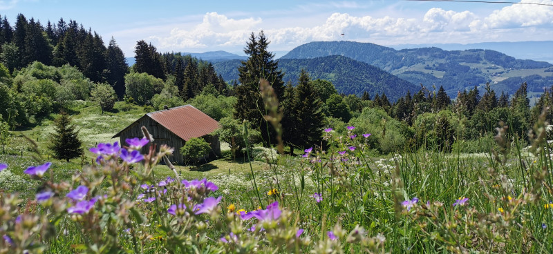
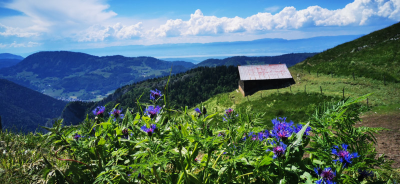
This road on a ledge has great views throughout the walk. This easy walk will take you through the Buchille mountain pastures and their many mountain plants.
This road on a ledge has great views throughout the walk. This easy walk will take you through the Buchille mountain pastures and their many mountain plants.
Nature and Heritage:
Explore La Buchille’s mountain pastures on this walk between Mont Billat and Pointe d'Ireuse, once home to over 300 cows. Alpine farmers still come to milk their livestock twice a day from June to September. Keep your dog on a lead so it doesn’t frighten the livestock. Make the most of your walk to spot Savoie mountain plants: yellow gentian, alpine anemone etc.
Route details:
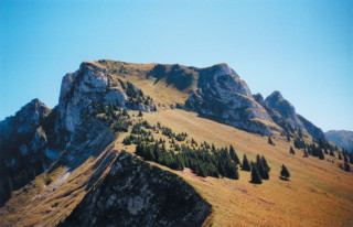
From La Buchille chalets, go down the tarmac road and turn right onto the path to Pertuis chalets which goes up via the mountain pastures and reaches the chalets within half an hour. When you reach the chalets you can see the alpine chalets of Mévonne at the foot of the vertical cliffs of Mont Billat and Rocher du Jotty. In the distance from north to south you can see: Les Mémises, La Dent d'Oche and Les Cornettes de Bise. In the background you can see the Valais mountains (Switzerland).
Mont Billat is only for experienced hikers. Don’t veer off the path if you’re not equipped as some paths are steep and slippery. (Ask for a mountain guide.)
General
- Services :
- Pets welcome
- Grouping by age (EN) :
- Children
- Visites :
- Average individual visit length (minutes) 60
- SITRA services :
- Services
We also suggest...
Contact
Alpage de Pertuis
Pertuis
74470
Vailly
Phone : +33 4 50 73 71 53
Accessibility
Theme:
Share :
