Tré le Saix mountain pasture" hike
- Level red – hard
- Ne pas s'approcher de la falaise en haut du Rocher de la Mottaz
- Blijf uit de buurt van de klif op de top van de Rocher de la Mottaz
Distance (km)
:
4.4
Elevation (m)
:
570
Daily duration (minutes)
:
180
Hiking itinerary

 Departure/Arrival
 Point of interest
Circuit n° 1
1 657 m
LIBELLE_SOUSCARTE
- SITRA services :
- Distance (km) 4.4
- Elevation (m) 570
- Daily duration (minutes) 180
- References topoguides :
- Cartoguide des itinéraires pédestres en vente à l'Office de Tourisme des Alpes du Léman (Bellevaux,Habère-Poche) 8 €.
- Wandelkaart te koop bij het toeristenbureau van Alpes du Léman (Bellevaux, Habère-Poche) 8 €.
- Environment :
- Lake 5 km away
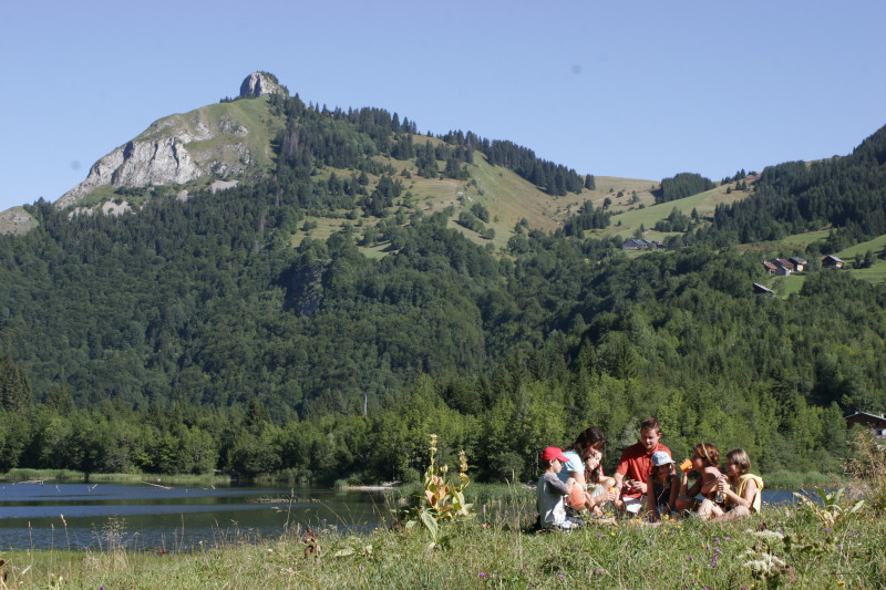
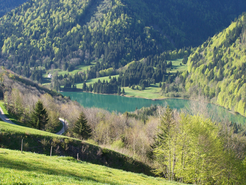
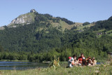
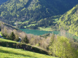
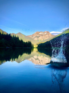
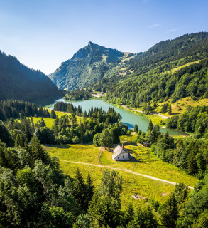
A hike in the heart of the alpine pastures, with superb views over Lac de Vallon and Roc d'Enfer.
This hike goes to the heart of the story of the formation of Lac de Vallon, with a view of the "niche d'arrachement" (the start of the landslide) and Lac de Vallon, born in 1943. Discover this history with the illustrated panels at the lakeside.
Opening day(s)
All year long 2026
Every day
General
- Services :
- Pets welcome
- Visites :
- Average individual visit length (minutes) 180
- SITRA services :
- Services
Equipment & Services
- Leisure facilities :
- Picnic area
We also suggest...
Accessibility
Theme:
Share :
